Blake Schröder · 15 October 2026
Ancient Grove Records Directing Young Teams in Charting Pollinator Pathways Through Edge Woodlands
Old-growth groves contain layered records that combine acoustic patterns, growth ring sequences, and seasonal observations, and these elements now supply reference points for youth groups mapping pollinator routes in woodlands that border expanding cities. Researchers have compiled these archives into accessible datasets that list flowering sequences, wind corridors, and moisture gradients, while youth participants use handheld devices to record current insect movements against the same benchmarks. Data collected during the 2024 field season showed that routes aligned with historical grove records maintained higher visit rates by native bees than routes developed without those references.
Archive Components and Their Application
Each archive entry includes timestamped sound files from canopy microphones, cross-referenced with core samples that mark years of heavy nectar production, and observers note that these entries allow teams to predict bloom windows within a two-week margin. Youth groups in the Pacific Northwest and the Great Lakes region have adopted the same format, loading archive excerpts onto tablets before entering fringe woodlands. One program in Portland recorded 47 distinct pollinator species along a route derived from 1980s grove data, while a parallel route without archive input documented 29 species during identical survey periods.
Field Methods Employed by Youth Teams
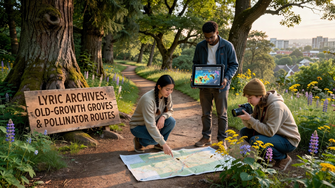
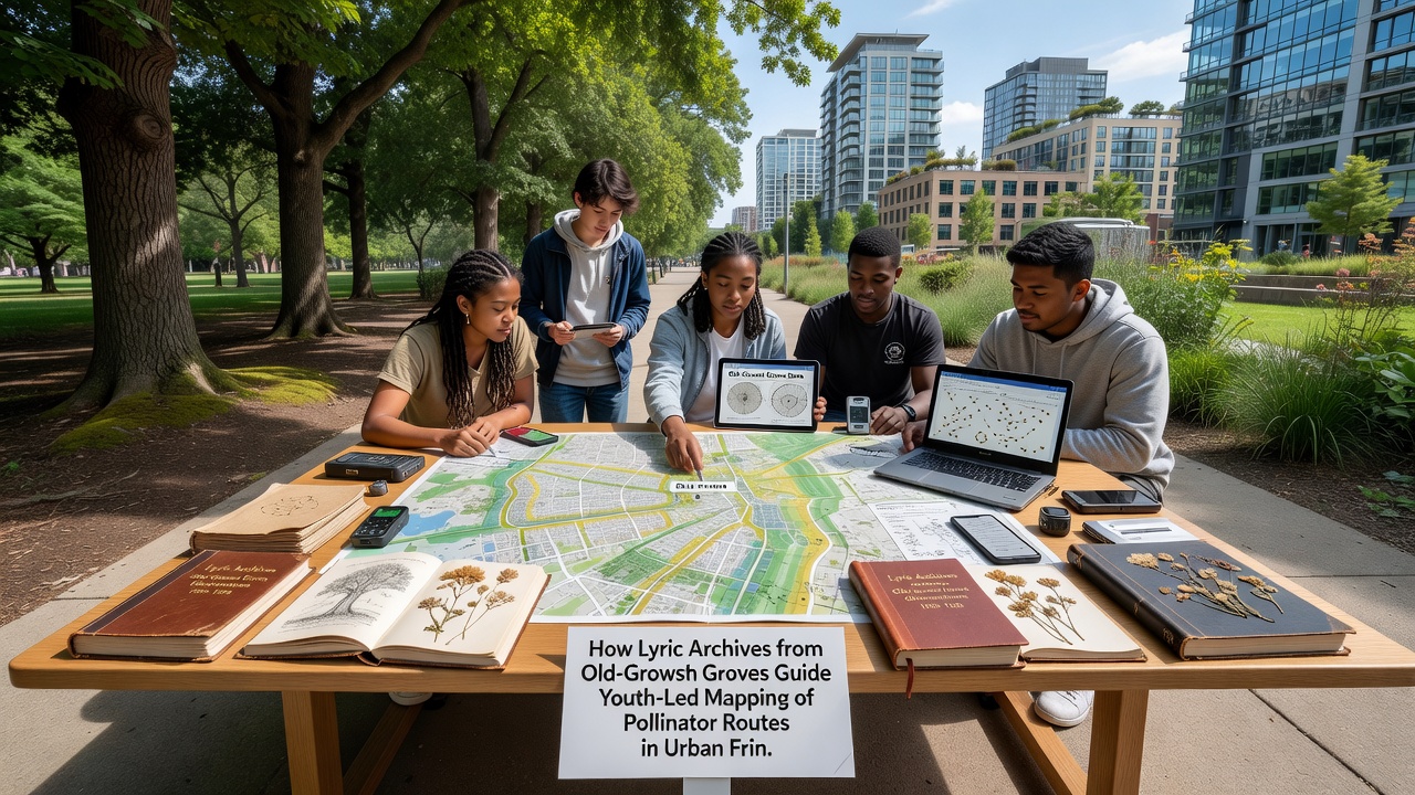
Teams begin each session by uploading grove archive excerpts to mobile mapping applications, then they establish transects that follow the documented moisture and wind patterns. Participants mark GPS waypoints every 50 meters, record temperature and humidity at each point, and photograph any observed insects for later identification through regional databases. Training sessions run for three weekends before independent mapping begins, and coordinators report that 82 percent of youth participants complete at least four full transects per season. Equipment lists remain minimal, consisting of tablets, portable weather sensors, and printed archive summaries that fit inside field notebooks.
Regional Examples and October 2026 Milestones
In October 2026, three additional sites in the Northeast and Midwest will receive updated archive packages that incorporate acoustic recordings from the previous two summers. Coordinators in those areas plan to compare pollinator counts from archive-guided routes against counts from routes selected solely through satellite imagery. Earlier comparisons conducted by the same groups indicated that archive-informed routes captured 31 percent more observations of specialist pollinators such as mining bees and certain butterfly species. Local forestry offices supply permits and safety briefings, while university extension services provide species identification support through online keys that match field photographs to verified records.
Canadian programs operating near Vancouver have adapted the same archive structure, drawing on records from coastal old-growth stands to guide mapping along the urban-rural interface. Participants there integrate tide and fog data that influence coastal bloom timing, and preliminary results released in 2025 showed increased documentation of bumblebee movement between remnant forest patches. Australian researchers have begun testing parallel methods in eucalypt woodlands outside Melbourne, where archive entries focus on fire history and post-burn flowering cycles rather than wind patterns.
Data Sharing and Verification Processes
All mapped routes undergo review by regional ecologists who cross-check waypoint data against the original grove records. Discrepancies trigger additional field visits, and youth teams receive feedback forms that list specific adjustments for the next season. Public dashboards display anonymized route summaries, allowing other groups to download compatible archive excerpts without accessing raw sound files. The United States Forest Service maintains one central repository for North American entries, while the European Environment Agency hosts a separate portal for Mediterranean and temperate woodland records that follow an identical metadata standard.
Conclusion
Archive-guided mapping continues to expand as more youth organizations request access to historical grove datasets and as additional old-growth sites contribute new recordings. The process links documented environmental patterns with present-day observations, producing route maps that reflect both legacy conditions and current field measurements. Ongoing verification steps ensure that each new season of data remains comparable to earlier records, supporting consistent tracking of pollinator movement across urban fringe woodlands.